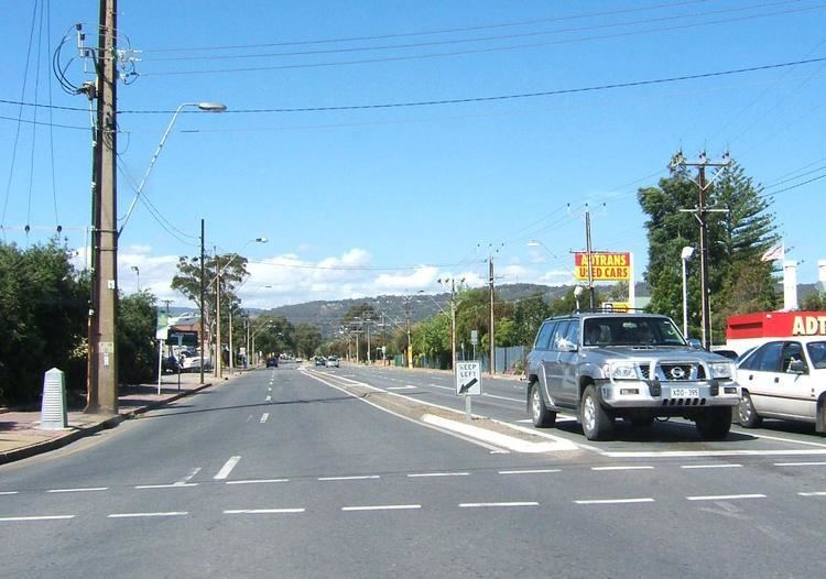
Type Road West end Marion Road | East end Goodwood Road Length 3 km | |
 | ||
Daws Road is a major double lane arterial road in the central southern suburbs of Adelaide, running east-west between Goodwood Road in the east and Marion Road in the west. Daws Road crosses South Road and the Tonsley railway line. It passes under one of the two diagonal railway bridges of the Seaford railway line, before ending at Marion Road, Ascot Park. Beyond this point, the road continues under the name Oaklands Road, heading towards Brighton Road in the west.
Map of Daws Rd, South Australia, Australia
The section of Daws Road west of South Road was previously known as Sweetmans Road, with the road ending at Railway Terrace, Ascot Park.
Daws Road travels through and borders the following suburbs:
The road is serviced by the 241 bus between Marion Road and West Street (Ascot Park), while the 213 bus runs between Beaumont Street (Clovelly Park) and Goodwood Road. The 297 bus travels from Beaumont Street to Winston Avenue (Melrose Park).
