
Area 216.2 km² | Time zone BST (UTC+6) | |
 | ||
Website Official Map of Daulatpur | ||
Daulatpur (Bengali: দৌলতপুর) is an Upazila of Manikganj District in the Division of Dhaka, Bangladesh.
Contents
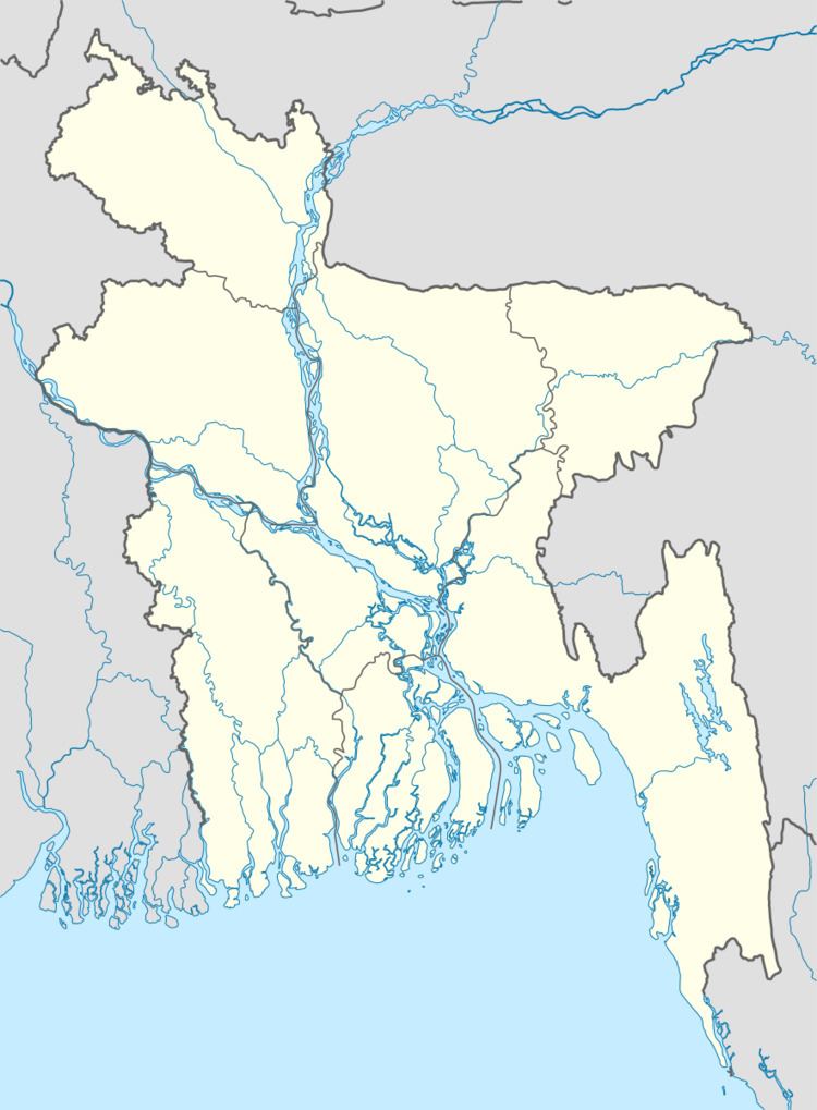
Map of Daulatpur Upazila, Bangladesh
Geography
Daulatpur is located at 23.9611°N 89.8417°E / 23.9611; 89.8417 . It has 26,720 households and total area 216.24 km².
Demographics
At the 1991 census Bangladesh census, Daulatpur had a population of 138,606, of which 69,586 were aged 18 or older. Males constituted 49.62% of the population, and females 50.38%. Daulatpur has an average literacy rate of 20% (7+ years), against the national average of 32.4%.
Administration
Daulatpur has 8 Unions/Wards, 172 Mauzas/Mahallas, and 170 villages.
References
Daulatpur Upazila, Manikganj Wikipedia(Text) CC BY-SA