Elevation 521 m Local time Saturday 10:52 AM | Time zone IST (UTC+5:30) Population 3,352 (2001) | |
 | ||
Weather 19°C, Wind W at 5 km/h, 41% Humidity | ||
Daulatpur is a town and a nagar panchayat in Tehsil Ghanari of Una district in the state of Himachal Pradesh, India. It is situated in the PUNJAB region of Indian Subcontinent.
Contents
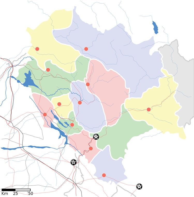
Map of Daulatpur, Himachal Pradesh
Geography
Daulatpur is located at 31.8°N 75.98°E / 31.8; 75.98. It has an average elevation of 521 metres (1709 feet).
Demographics
As of 2001 India census, Daulatpur had a population of 3352. Males constitute 50% of the population and females 50%. Daulatpur has an average literacy rate of 79%, higher than the national average of 74.04%: male literacy is 82% and, female literacy is 76%. In Daulatpur, 11% of the population is under 6 years of age.
References
Daulatpur, Himachal Pradesh Wikipedia(Text) CC BY-SA
