Country Philippines Barangays ZIP code 9602 Province Maguindanao | Established September 16, 2006 Time zone PST (UTC+8) Area 147.2 km² | |
 | ||
Region Autonomous Region in Muslim Mindanao (ARMM) Neighborhoods Tabuan, Romangaob, Resa, Lapaken, Sedem, Kinimi, Meti, Renede | ||
Datu Blah T. Sinsuat is a 1st class municipality in the province of Maguindanao, Philippines. According to the 2015 census, it has a population of 25,024 people.
Contents
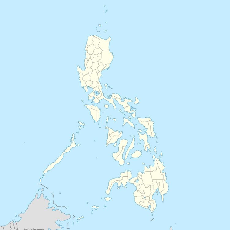
Map of Datu Blah Sinsuat, Maguindanao, Philippines
Formerly a part of the town of Upi, Datu Blah T. Sinsuat became another municipality after a plebiscite on September 16, 2006 and pursuant to the Muslim Mindanao Act No. 198 of the ARMM. On October 28, it became a new municipality of the newly created Shariff Kabunsuan province until its nullification by the Supreme Court in July 2008. The orphaned municipality was absorbed by the province of Maguindanao.
This municipality is named after Datu Blah T. Sinsuat, Maguindanao's delegate to the 1935 Constitutional Convention and Cotabato's Lone District Representative to the 2nd Congress of the Philippines.
Barangays
Datu Blah T. Sinsuat is politically subdivided into 13 barangays.
