
Local time Saturday 10:10 AM | Zone Mahakali Zone Population 1,832 (1991) | |
 | ||
Weather 22°C, Wind SE at 5 km/h, 32% Humidity | ||
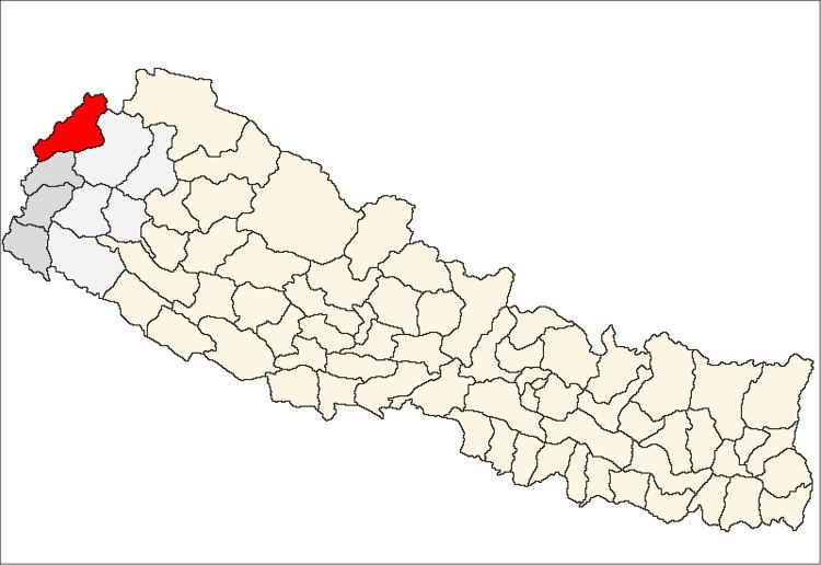
Dattu is a village development committee in Darchula District in the Mahakali Zone of western Nepal. At the time of the 1991 Nepal census it had a population of 1832 people living in 344 individual households. It consist of 9 wards: Sakar, Thapala, Mali Dattu, Bait, Ulaini, Tali Dattu, Udyai, Kholi, Chuchai. The south part is separated by from India by the Mahakali River, and the Indian markets Baluwako and Go Ghatiwagad are connected by a hanging bridge, which helps access to Indian markets and trading business among residents and others nearby. The cultural relationship with India has also strengthened the ties among both countries' residents.
Map of Datu 10100, Nepal
References
Datu, Nepal Wikipedia(Text) CC BY-SA