
County Howard ZIP code 46901 Elevation 250 m | State Indiana FIPS code 18-16860 Local time Friday 5:03 PM | |
 | ||
Weather 0°C, Wind W at 16 km/h, 40% Humidity | ||
Darrough Chapel is an unincorporated community in Center Township, Howard County, Indiana, United States. Named after Darrough Chapel Church, it has been in existence since at least 1894. It is part of the Kokomo, Indiana, Metropolitan Statistical Area.
Contents
Map of Darrough Chapel, IN 46901, USA
Darrough Chapel lies outside the city limits of Kokomo, and according to a March 11, 2011, report in the Kokomo Perspective, "At present, Darrough Chapel is excluded from all annexation proposals that have been made by the city."
Geography
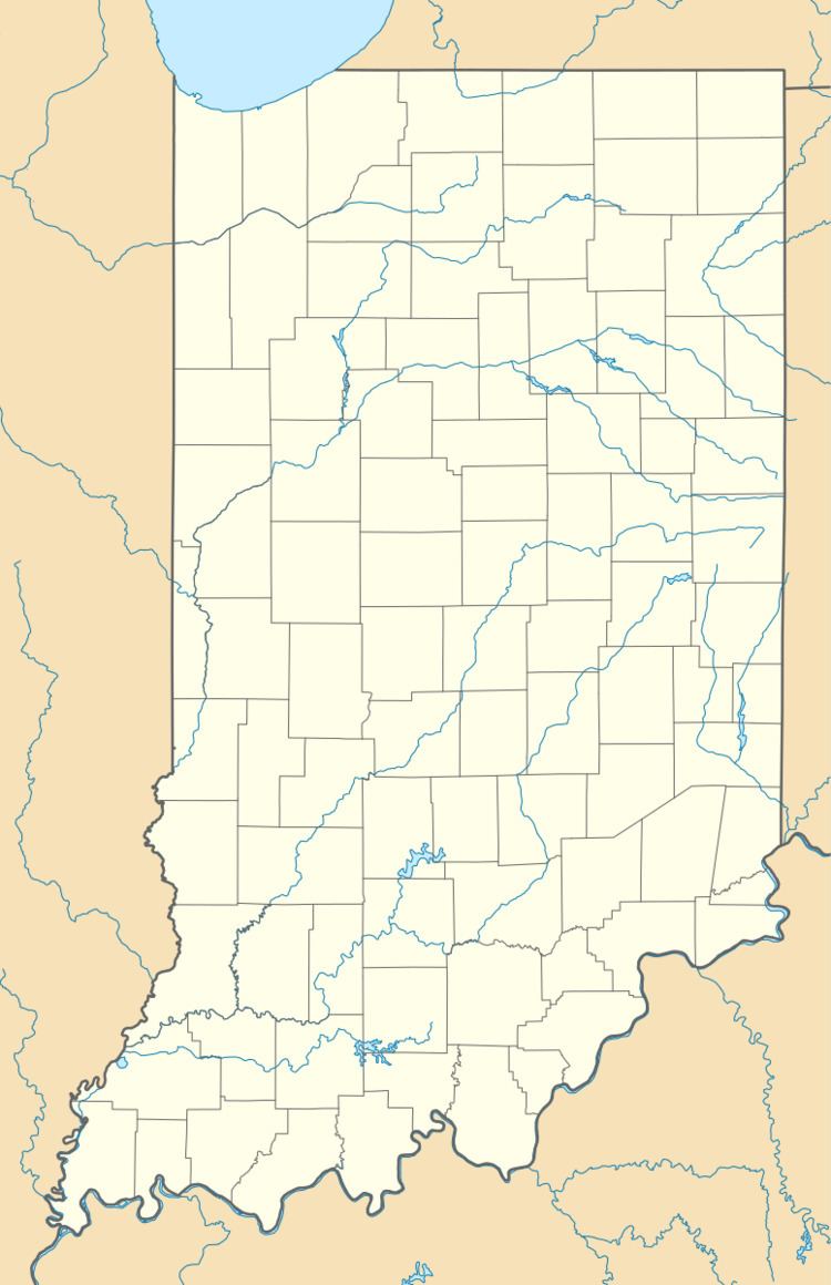
Darrough Chapel is located at 40°28′43″N 86°05′44″W.
References
Darrough Chapel, Indiana Wikipedia(Text) CC BY-SA