Country Nigeria Time zone WAT (UTC+1) | State Bauchi State | |
 | ||
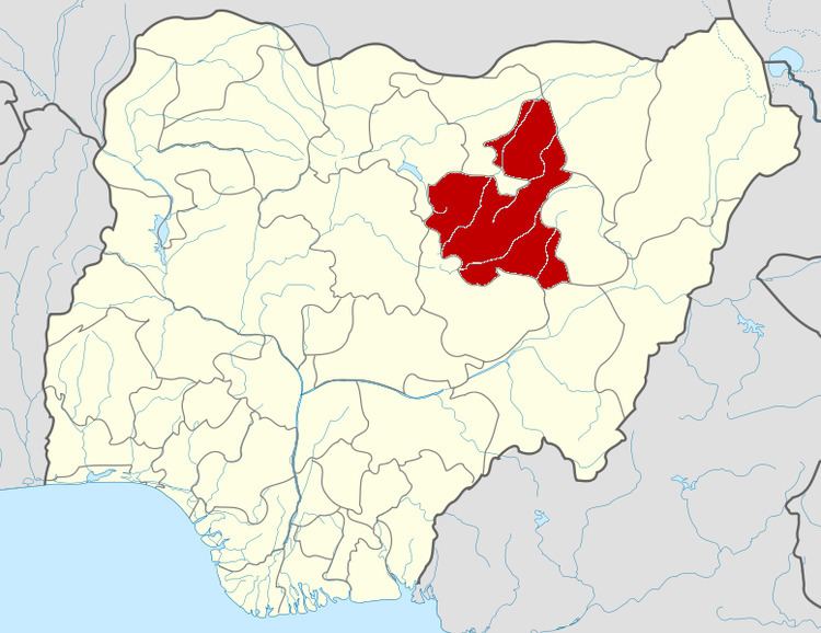
Darazo is a Local Government Area of Bauchi State, Nigeria. Its headquarters are in the town of Darazo.
Map of Darazo, Nigeria
It has an area of 3,015 km² and a population of 251,597 at the 2006 census.
The postal code of the area is 750.
The Zumbun language is spoken in Jimbim settlement in Darazo LGA.
References
Darazo Wikipedia(Text) CC BY-SA
