Coat of arms Flag Town of district significance Danilov Local time Thursday 9:54 AM | Area 12 km² | |
 | ||
Weather 1°C, Wind S at 8 km/h, 88% Humidity | ||
Danilov (Russian: Дани́лов) is a town and the administrative center of Danilovsky District in Yaroslavl Oblast, Russia. Population: 15,861 (2010 Census); 17,245 (2002 Census); 18,857 (1989 Census).
Contents
- Map of Danilov Yaroslavl Oblast Russia
- History
- Administrative and municipal status
- Economy
- Transportation
- References
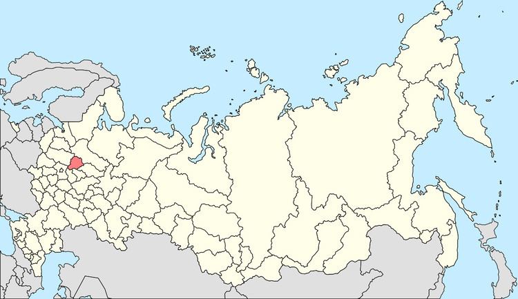
Map of Danilov, Yaroslavl Oblast, Russia
History
Danilov was first mentioned in a chronicle in 1592 and was granted town status in 1777.
Administrative and municipal status
Within the framework of administrative divisions, Danilov serves as the administrative center of Danilovsky District. As an administrative division, it is incorporated within Danilovsky District as the town of district significance of Danilov. As a municipal division, the town of district significance of Danilov is incorporated within Danilovsky Municipal District as Danilov Urban Settlement.
Economy
There is a cheese producing plant and some other industries.
Transportation
The town stands on the M8 Highway. There is also a major railway station where locomotives are switched from electrification system DC 3kV to AC 25kV and vice versa. Railway lines go to Yaroslavl, Vologda, and Buy.
