
Country United States County Merrimack Time zone Eastern (UTC-5) Elevation 251 m Zip code 03230 | Incorporated 1795 Area code(s) 603 Area 97.6 km² Population 1,164 (2010) | |
 | ||
Weather 6°C, Wind W at 11 km/h, 56% Humidity | ||
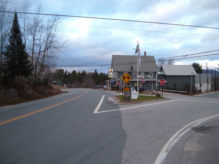
Nh open carry swim danbury new hampshire guns
Danbury is a town in Merrimack County, New Hampshire, United States. The population was 1,164 at the 2010 census.
Contents
- Nh open carry swim danbury new hampshire guns
- Map of Danbury NH USA
- Inn at danbury danbury new hampshire
- History
- Geography
- Demographics
- Places of interest
- Notable people
- References
Map of Danbury, NH, USA
Inn at danbury danbury new hampshire
History
It was first settled about 1771 as a part of Alexandria, but mountainous terrain separated it from the rest of the town. In 1795, it was set off and incorporated, the name suggested by a settler from Danbury, Connecticut. The town later grew by adding land from Wilmot and Hill. Farmers found the surface mostly hilly, but with some good intervales suitable for agriculture. Raising cattle and sheep became the principal occupation. By 1859, when the population was 934, it had seven sawmills, two shingle, lath and clapboard mills, and one tannery.
Geography
According to the United States Census Bureau, the town has a total area of 37.7 square miles (98 km2), of which 37.5 sq mi (97 km2) is land and 0.3 sq mi (0.78 km2) is water, comprising 0.74% of the town.
The town is drained by the Smith River and lies fully within the Merrimack River watershed. Waukeena Lake, School Pond, and Bog Pond are a few of the bodies of water within the town limits.
The highest point in Danbury is the summit of Tinkham Hill, at 2,320 feet (710 m) above sea level, in the northern part of town. Ragged Mountain is a prominent mountain with multiple summits which occupies the southern portion of town and has a ski area of the same name; the elevation of the Danbury summit of Ragged is 2,225 ft (678 m) above sea level. The Sunapee-Ragged-Kearsarge Greenway hiking trail crosses a corner of Danbury along Ragged Mountain's Ridge Trail. Access to the Ridge Trail from the SRK Greenway is on the SRKG 6.1 mile trail section 9, either from trailhead parking on New Canada Road in Wilmot from the northwest or from Proctor Academy's trailhead parking in Andover from the southeast.
Danbury is located approximately 35 miles (56 km) from Concord, the state capital, and 50 miles (80 km) from Manchester, the state's largest city. Danbury is the northernmost town in Merrimack County and lies within the Dartmouth-Lake Sunapee Region. The town is served by U.S. Route 4 and New Hampshire Route 104.
Demographics
In 1800, there were 165 people living in Danbury, according to the first official census.
As of the 2000 census, there were 1,071 people, 435 households, and 310 families residing in the town. The population density was 28.6 people per square mile (11.0/km²). There were 596 housing units at an average density of 15.9 per square mile (6.1/km²). The racial makeup of the town was:
Hispanic or Latino of any race were 0.47% of the population. (U.S. average: 12.5%)
In 2000, there were 435 households with an average household size of 2.46 and an average family size of 2.84.
In 2000, the town's population had a median age of 41 years (U.S. average: 35.3).
For every 100 females there were 104.0 males. For every 100 females age 18 and over, there were 104.7 males.
The median income for a household in the town was $38,313 (U.S. average: $41,994). The median income for a family was $40,809 (U.S. average: $50,046). Males had a median income of $32,105 versus $26,328 for females. The per capita income for the town was $18,339. About 8.9% of families (U.S. average: 9.2%), and 11.1% of the population (U.S. average: 12.4%) were below the poverty line, including 11.9% of those under age 18 and 9.3% of those age 65 or over.