
OS grid reference NC889544 Sovereign state United Kingdom Local time Thursday 2:38 AM | Postcode district KW13 6 Council area Highland | |
 | ||
Weather 9°C, Wind W at 16 km/h, 54% Humidity | ||
Dalhalvaig (Scottish Gaelic: Dail Healabhaig) is a small crofting village, located in the right bank of the River Halladale in the Scottish council area of Highland.
Map of Dalhalvaig, Forsinard, UK
Dalhalvaig was originally in the parish of Reay, which itself was partly in the county of Caithness and partly in the county of Sutherland. However, in 1891 the parish boundaries changed so that the portion of the parish of Reay that was in Sutheland was disjointed and became part of the parish of Farr in Sutherland and therefore Dalhalvaig is today situated in the parish of Farr, county of Sutherland.
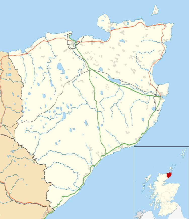
The A897 road runs past the village, with the villages of Croick, Trantlemore and Trantlebeg in the south, and the Melvich to the north.
References
Dalhalvaig Wikipedia(Text) CC BY-SA