
Country United States GNIS feature ID 0766235 Area 20.7 km² Local time Wednesday 8:07 PM | FIPS code 29-18028 Elevation 296 m Population 231 (2010) | |
 | ||
Weather 8°C, Wind N at 8 km/h, 41% Humidity | ||
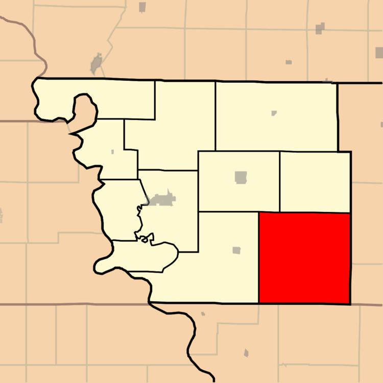
Dale Township is one of eleven townships in Atchison County, Missouri, United States. As of the 2010 census, its population was 231.
Contents
Map of Dale Township, MO, USA
Dale Township most likely was named for the dales within its borders.
Geography
Dale Township covers an area of 81.6 square miles (211.4 km2) and contains no incorporated settlements. It contains one cemetery, Walkup.
The streams of Hickory Branch and Long Branch run through this township.
Transportation
Dale Township contains one airport, Cleveland Airport.
References
Dale Township, Atchison County, Missouri Wikipedia(Text) CC BY-SA