
Country United States County Spencer Time zone CST (UTC-6) Elevation 142 m Zip code 47523 Area code 937 | State Indiana FIPS code 18-16624 Local time Wednesday 8:11 PM Population 1,575 (2013) | |
 | ||
Weather 11°C, Wind S at 11 km/h, 41% Humidity Area 4.04 km² (4.014 km² Land / 3 ha Water) | ||
Dale is a town in Carter Township, Spencer County, in the U.S. state of Indiana. The population was 1,593 at the 2010 census.
Contents
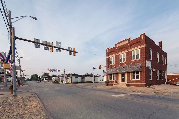
- Map of Dale IN 47523 USA
- History
- Geography
- 2010 census
- 2000 census
- Notable people
- New developments
- References
Map of Dale, IN 47523, USA
History
Dale was originally called Elizabeth, and under the latter name was laid out in 1843. When a post office was established, the name was changed to Dale, in honor of Robert Dale Owen of New Harmony, the town's congressman at the time. The Dale post office has been in operation since 1844.
Geography
Dale is located at 38°10′7″N 86°59′17″W (38.168603, -86.988072).
According to the 2010 census, Dale has a total area of 1.56 square miles (4.04 km2), of which 1.55 square miles (4.01 km2) (or 99.36%) is land and 0.01 square miles (0.03 km2) (or 0.64%) is water.
2010 census
As of the census of 2010, there were 1,593 people, 603 households, and 406 families residing in the town. The population density was 1,027.7 inhabitants per square mile (396.8/km2). There were 649 housing units at an average density of 418.7 per square mile (161.7/km2). The racial makeup of the town was 84.6% White, 0.4% African American, 0.1% Native American, 0.6% Asian, 12.6% from other races, and 1.8% from two or more races. Hispanic or Latino of any race were 18.1% of the population.
There were 603 households of which 35.3% had children under the age of 18 living with them, 51.6% were married couples living together, 10.9% had a female householder with no husband present, 4.8% had a male householder with no wife present, and 32.7% were non-families. 29.0% of all households were made up of individuals and 14.1% had someone living alone who was 65 years of age or older. The average household size was 2.50 and the average family size was 3.08.
The median age in the town was 37.9 years. 24.9% of residents were under the age of 18; 7.6% were between the ages of 18 and 24; 24.3% were from 25 to 44; 27.3% were from 45 to 64; and 15.8% were 65 years of age or older. The gender makeup of the town was 50.4% male and 49.6% female.
2000 census
As of the census of 2000, there were 1,570 people, 591 households, and 414 families residing in the town. The population density was 1,025.4 people per square mile (395.7/km²). There were 630 housing units at an average density of 412.0 per square mile (159.0/km²). The racial makeup of the town was 92.35% White, 1.02% African American, 6.12% from other races, and 0.51% from two or more races. Hispanic or Latino of any race were 9.44% of the population.
There were 591 households out of which 31.6% had children under the age of 18 living with them, 55.2% were married couples living together, 10.7% had a female householder with no husband present, and 29.9% were non-families. 26.7% of all households were made up of individuals and 13.9% had someone living alone who was 65 years of age or older. The average household size was 2.53 and the average family size was 3.05.
In the town, the population was spread out with 24.5% under the age of 18, 9.2% from 18 to 24, 28.2% from 25 to 44, 20.7% from 45 to 64, and 17.4% who were 65 years of age or older. The median age was 37 years. For every 100 females there were 90.8 males. For every 100 females age 18 and over, there were 91.6 males.
The median income for a household in the town was $36,295, and the median income for a family was $42,969. Males had a median income of $29,018 versus $22,545 for females. The per capita income for the town was $16,163. About 2.7% of families and 4.5% of the population were below the poverty line, including 4.6% of those under age 18 and 2.6% of those age 65 or over.
Notable people
New developments
The Indiana Department of Transportation, as part of the Major Moves transportation program, in 2011 completed a four-lane, limited access highway bypass that carries U.S. Route 231 around the west side of Dale. The town now has access points at Indiana 62 on the town's south side, Indiana 68 on the west side, and Spencer County Road 2050 North (a new roadway) on the north side.
County Road 2050 North provides access to two hotels, a restaurant, gas station and residences that were formerly accessed from the old interchange of U.S. 231 with Interstate 64. That diamond interchange and overpass were eliminated in favor of a partial-cloverleaf interchange located slightly to the west, necessitating the access road.
The community of Dale is expected to benefit from increased economic development and less traffic through the center of town, where backups at the only traffic signal have become more common in recent years. This causes problems especially during the summer months, when the existing roads are heavily traveled by visitors to nearby Holiday World & Splashin' Safari, Lincoln State Park and the Lincoln Boyhood National Memorial.