
Country Norway County Hordaland Municipality Vaksdal Area 72 ha Local time Thursday 3:10 AM | Region Western Norway District Nordhordland Elevation 36 m (118 ft) Population 1,163 (2013) | |
 | ||
Weather 1°C, Wind E at 14 km/h, 89% Humidity | ||
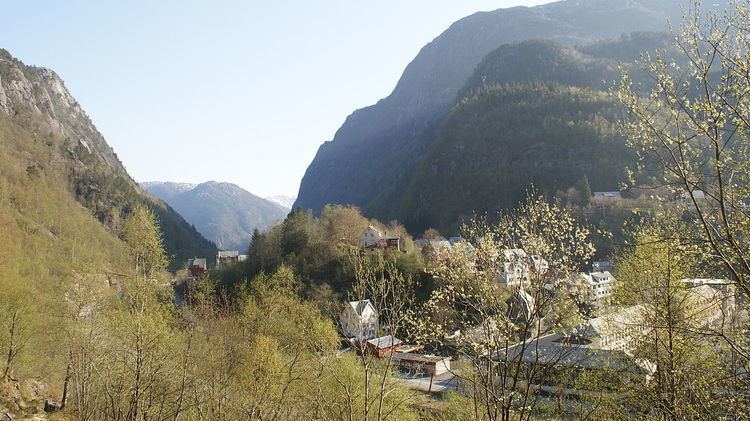
Dale or Dalekvam is the administrative centre of Vaksdal municipality, in Hordaland county, Norway. The village lies at the western end of the Bergsdalen valley, about 5 kilometres (3.1 mi) northeast of the village of Stanghelle on the shore of the Veafjorden. The village lies along the European route E16, the Bergensbanen railway line (and Dale Station), and the river Daleelva. The 0.72-square-kilometre (180-acre) urban area of Dale has a population (2013) of 1,163; giving the village area a population density of 1,615 inhabitants per square kilometre (4,180/sq mi). The small Dalegarden village at the southern end of Dale is included in the "urban area" of Dale.
Map of 5722 Dale, Norway
Dale Church is located in the village. The village is also the site of the international Dale of Norway company which manufactures wool sweaters and outdoor jackets. There is also a textile mill and other small industries.