Postcode(s) 4807 Postal code 4807 | LGA(s) Burdekin Shire Council Local time Thursday 11:38 AM | |
 | ||
Weather 26°C, Wind E at 13 km/h, 87% Humidity | ||
Dalbeg is a tiny farming community located inland from the townships of Ayr and Home Hill. Situated on the banks of the Burdekin River, it is a fertile area famous for growing sugar cane and vegetables.
Contents
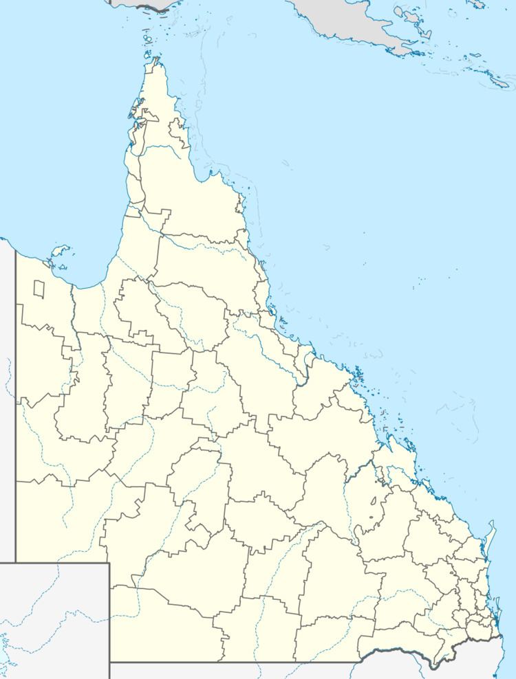
Map of Dalbeg QLD 4807, Australia
On many maps there appears to be a road crossing the Burdekin River at Dalbeg. In fact this was once a fording point. The earliest explorers coming from the Gulf region (The Plains of Promise) used Expedition Pass through the mountains to arrive at the banks of the Burdekin River at this fording point where they then crossed into Strathalbyn Station. The river can no longer be forded at this point.
History
Dalbeg Post Office opened on 1 December 1956 and closed in 1971.
Dalbeg was once home to the North Queensland Soaring Centre (then the Burdekin Soaring Club).
