
Regional unit Elis Time zone EET (UTC+2) Elevation 195 m Area code 26220 | Postal code 270 69 Local time Wednesday 9:32 PM Municipality Ilida | |
 | ||
Weather 8°C, Wind S at 0 km/h, 87% Humidity | ||
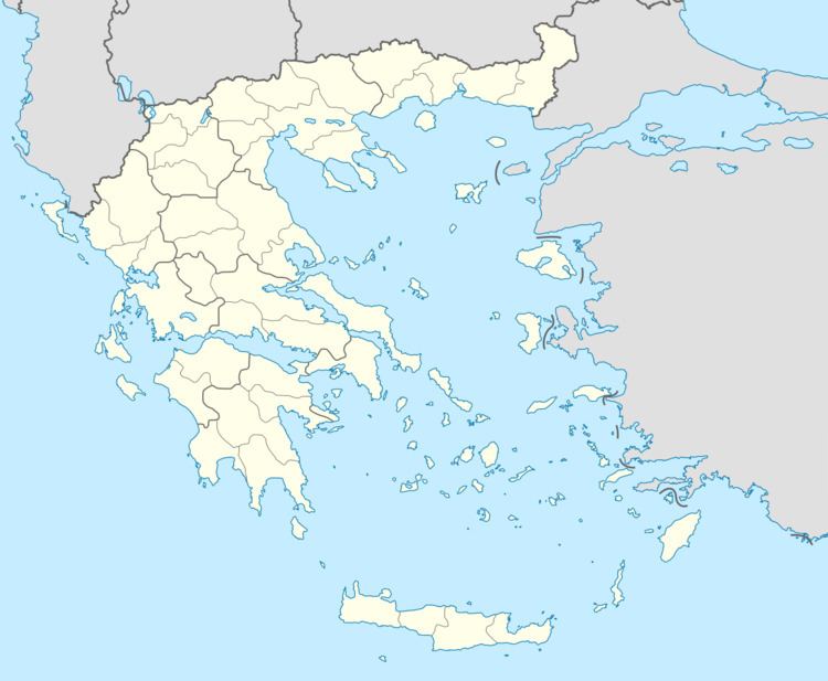
Dafni (Greek: Δάφνη, meaning "laurel", before 1957: Δάμιζα - Damiza) is a village and a community in the municipal unit of Amaliada, Elis, Greece. It is situated in a hilly, rural area, 3 km west of Keramidia, 4 km northeast of Chavari, 10 km northeast of Amaliada and 13 km west of Simopoulo. There is an archaeological site near Dafni. The community Dafni consists of the villages Dafni and Kalathas.
Map of Dafni 270 69, Greece
References
Dafni, Amaliada Wikipedia(Text) CC BY-SA