
Country Nepal Time zone NPT (UTC+5:45) Area 1,538 km² | Zone Mahakali Zone | |
 | ||
Region Far-Western Development Region, Nepal | ||
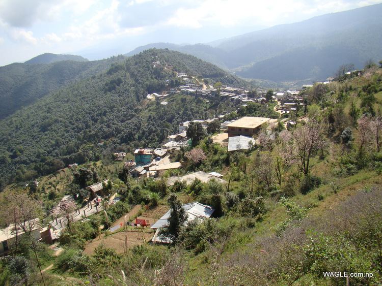
Dadeldhura district (Nepali: डडेलधुरा जिल्ला Listen ), a part of Province No. 7, is one of the seventy-five districts of Nepal. The district, with Dadeldhura as its district headquarters, covers an area of 1,538 km² and had a population of 126,162 in 2001 and 142,094 in 2011.
Map of Dadeldhura, Nepal
The region has a desert-mountainous landscape that contains many religious temples. The district is frequently visited by tourists but contains local routes to Mt Kailaish in Tibet, Ra Ra Lake in Humla district and the last remaining remnants of the Far Western Malla Kingdom. Nagi Malla was the last royal to live here before Nepalese unification.
The spoken language is Dotyal and the majority of inhabitants are Hindu. The district is not so rural and is modernizing rapidly. Dadeldhura is the most developed district among other hilly districts in far Western region. It is the most important hub for all the hilly areas l. Dadeldhura is a only way to go up to other upper districts.