
Country Burma (Myanmar) Time zone MST (UTC+6.30) | Elevation 45 m | |
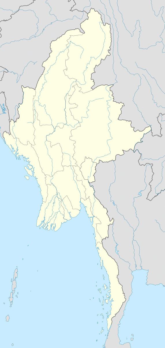 | ||
Dabataw is a village in Ye Township in Mawlamyine District in the Mon State of south-east Burma (Myanmar). Dabataw is on a tributary of the Palantha Chaung, in the foothills of the Tenasserim Range, about 2 kilometres (1.2 mi) east of Waipathe.
Map of Dabataw, Myanmar (Burma)
References
Dabataw Wikipedia(Text) CC BY-SA