
Postal code 53222 Elevation 552 m Population 118 (2011) | Time zone CET (UTC+1) Area code +385-53 Local time Wednesday 5:14 PM | |
 | ||
Weather 10°C, Wind NE at 27 km/h, 42% Humidity | ||
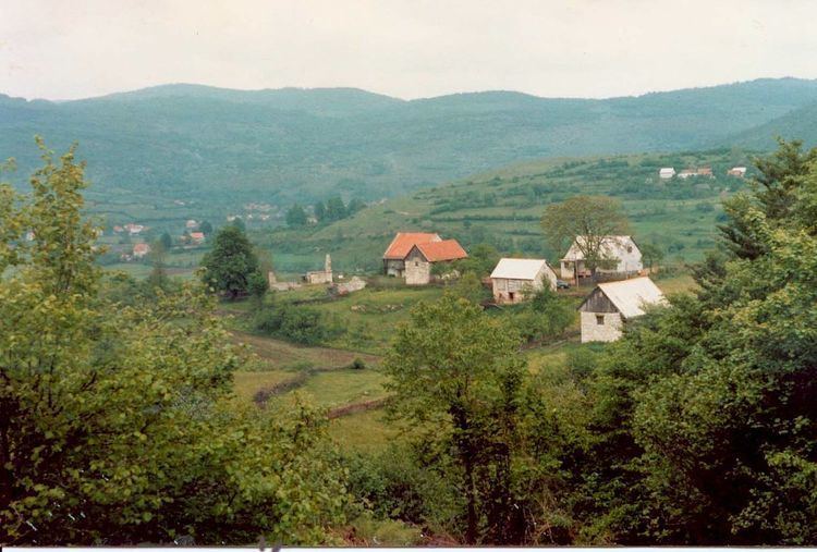
Dabar is a village in Croatia, 21 km northeast of Otočac and a part of the Town of Otočac municipality.
Contents
Map of 53260, Dabar, Croatia
History
The ruins of a fortress called by the folk Sokolić rise on Vučjak hill; it has a square ground-plan and one cylindrical angle tower. First mentioned in 1499 as a fortress of the Frankopans, remained a borderline stronghold until the Turks were expelled from Lika. In 1773 already a "completely demolished town".
References
Dabar, Lika-Senj County Wikipedia(Text) CC BY-SA