Length 90.3 km | ||
 | ||
Counties | ||
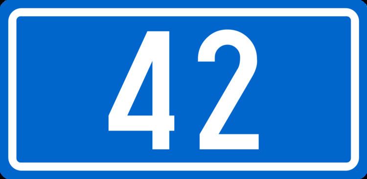
D42 state road, connecting Gorski Kotar and Lika regions of Croatia, and cities and towns of Vrbovsko, Josipdol and Ogulin, to the state road network of Croatia, and most notably to A6 and A1 Vrbovsko and Ogulin interchanges respectively. The road is 90.3 km (56.1 mi) long. The route comprises a significant number of urban intersections, in segment of the road running through Ogulin.
Contents
Map of D42, Croatia
The road, as well as all other state roads in Croatia, is managed and maintained by Hrvatske ceste, a state-owned company.
Traffic volume
Traffic is regularly counted and reported by Hrvatske ceste, operator of the road.
References
D42 road (Croatia) Wikipedia(Text) CC BY-SA
