Length 82.9 km | ||
 | ||
To: D10 in Vrbovec 1 interchange Counties Koprivnica-Križevci County, Zagreb County | ||
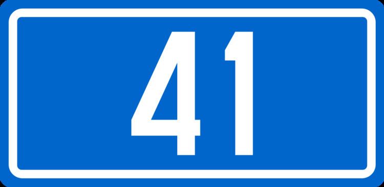
D41 is a state road in the central Croatia connecting the D10 expressway in Vrbovec 1 interchange to Križevci, Koprivnica and Gola border crossing to Hungary. The road is 82.9 km (51.5 mi) long.
Contents
Map of D41, Croatia
The road, as well as all other state roads in Croatia, is managed and maintained by Hrvatske ceste, a state-owned company.
Traffic volume
Traffic is regularly counted and reported by Hrvatske ceste, one of the operators of the road.
References
D41 road (Croatia) Wikipedia(Text) CC BY-SA
