
Local time Thursday 12:00 AM | Population 180 | |
 | ||
Weather -1°C, Wind SE at 8 km/h, 91% Humidity Voivodeship Warmian-Masurian Voivodeship | ||
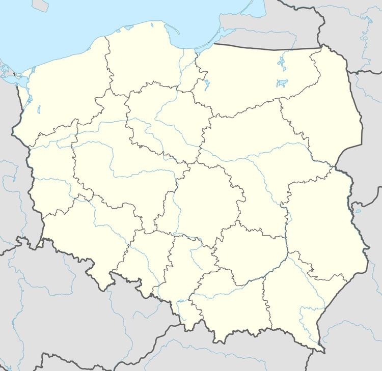
Dąbrówka Mała [dɔmˈbrufka ˈmawa] (German: Klein Dombrowken, from 1938-45 Dammfelde) is a village in the administrative district of Gmina Węgorzewo, within Węgorzewo County, Warmian-Masurian Voivodeship, in northern Poland, close to the border with the Kaliningrad Oblast of Russia. It lies approximately 10 kilometres (6 mi) north-west of Węgorzewo and 91 km (57 mi) north-east of the regional capital Olsztyn.
Map of D%C4%85br%C3%B3wka Ma%C5%82a, Poland
Before 1945, the area was part of Germany (East Prussia).
The village has a population of 180.
References
Dąbrówka Mała, Węgorzewo County Wikipedia(Text) CC BY-SA