
Local time Thursday 12:00 AM | County Świebodzin Population 296 | |
 | ||
Weather 4°C, Wind SE at 10 km/h, 79% Humidity | ||
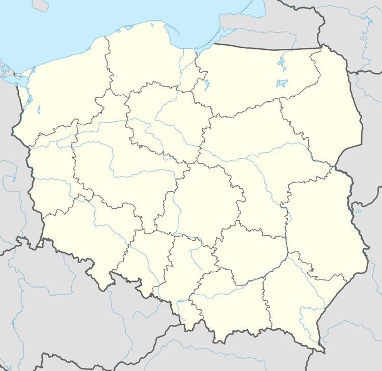
Dąbrówka Mała [dɔmˈbrufka ˈmawa] (German Klein Dammer) is a village in the administrative district of Gmina Szczaniec, within Świebodzin County, Lubusz Voivodeship, in western Poland. It lies approximately 4 kilometres (2 mi) south of Szczaniec, 12 km (7 mi) east of Świebodzin, 36 km (22 mi) north of Zielona Góra, and 64 km (40 mi) south-east of Gorzów Wielkopolski.
Map of D%C4%85br%C3%B3wka Ma%C5%82a, Poland
Prior to 1945 the area was part of Germany. After World War II the region was placed under Polish administration and ethnically cleansed according to the post-war Potsdam Agreement. The native German populace was expelled and replaced by Poles.
In the years 1975-1998 the village has a Zielona Gora province. The village has a population of 296.
References
Dąbrówka Mała, Lubusz Voivodeship Wikipedia(Text) CC BY-SA