
Gmina Sieniawa Elevation 150 m | County Przeworsk Population 483 Local time Tuesday 9:08 PM | |
 | ||
Weather 5°C, Wind N at 8 km/h, 76% Humidity Voivodeship Świętokrzyskie Voivodeship | ||
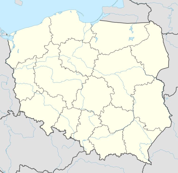
Czerwona Wola [t͡ʂɛrˈvɔna ˈvɔla] is a village in the administrative district of Gmina Sieniawa, within Przeworsk County, Subcarpathian Voivodeship, in south-eastern Poland.[1] It lies approximately 9 kilometres (6 mi) east of Sieniawa, 19 km (12 mi) north-east of Przeworsk, and 53 km (33 mi) east of the regional capital Rzeszów.
Map of Czerwona Wola, Poland
The village has a population of 483.
References
Czerwona Wola, Świętokrzyskie Voivodeship Wikipedia(Text) CC BY-SA