
Lowest elevation 330 m (1,080 ft) | County Żywiec Highest elevation 400 m (1,300 ft) Local time Tuesday 8:59 PM | |
 | ||
Established first half of the 16th century Weather 2°C, Wind W at 5 km/h, 92% Humidity | ||
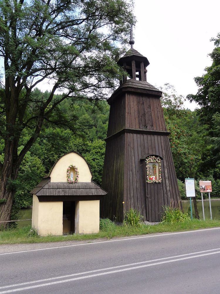
Czernichów [t͡ʂɛrˈnixuf] is a village in Żywiec County, Silesian Voivodeship, in southern Poland. It is the seat of the gmina (administrative district) called Gmina Czernichów. It lies approximately 7 kilometres (4 mi) north of Żywiec and 58 km (36 mi) south of the regional capital Katowice.
Map of Czernich%C3%B3w, Poland
The village has a population of 1,098.
The village was most probably established in the first half of the 16th century either by Vlachs or Germans.
Czernichów is twinned with:
References
Czernichów, Silesian Voivodeship Wikipedia(Text) CC BY-SA