
Local time Tuesday 6:53 PM | Population 530 | |
 | ||
Weather 4°C, Wind W at 5 km/h, 87% Humidity Voivodeship Świętokrzyskie Voivodeship | ||
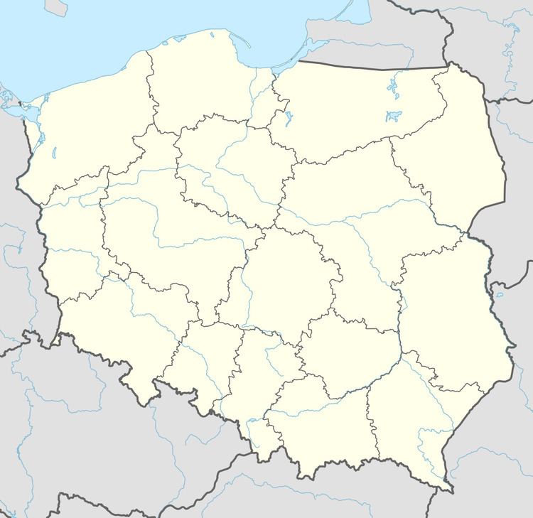
Czarniecka Góra [t͡ʂarˈɲet͡ska ˈɡura] is a village in the administrative district of Gmina Stąporków, within Końskie County, Świętokrzyskie Voivodeship, in south-central Poland. It lies approximately 3 kilometres (2 mi) south-west of Stąporków, 11 km (7 mi) south-east of Końskie, and 29 km (18 mi) north of the regional capital Kielce.
Map of Czarniecka G%C3%B3ra, Poland
The village has a population of 530.
References
Czarniecka Góra Wikipedia(Text) CC BY-SA