
Population 1,506 Local time Tuesday 6:45 PM | ||
 | ||
Weather 3°C, Wind NW at 6 km/h, 81% Humidity Points of interest Ośrodek Narciarski Koziniec w Czarnej Górze | ||
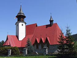
Czarna Góra [ˈt͡ʂarna ˈɡura], (Slovak: Čierna Hora) is a village in the administrative district of Gmina Bukowina Tatrzańska, within Tatra County, Lesser Poland Voivodeship, in southern Poland, close to the border with Slovakia. It lies approximately 5 kilometres (3 mi) north of Bukowina Tatrzańska, 17 km (11 mi) north-east of Zakopane, and 77 km (48 mi) south of the regional capital Kraków.
Map of Czarna G%C3%B3ra, Poland
The village has a population of 1,506.
It is one of the 14 villages in the Polish part of the historical region of Spiš (Polish: Spisz).
References
Czarna Góra, Lesser Poland Voivodeship Wikipedia(Text) CC BY-SA