
Country Canada Census division 7 Area code(s) +1-780, +1-587 Area 118 ha Province Alberta | Time zone MST (UTC−7) Elevation 685 m Population 202 (2016) Local time Tuesday 10:42 AM | |
 | ||
Weather -15°C, Wind NW at 35 km/h, 66% Humidity | ||
Czar is a village in central Alberta. It is located 70 kilometres (43 mi) west of the Saskatchewan border, at the intersection of Highway 13, Buffalo Trail and the Canadian Pacific Railway tracks.
Contents
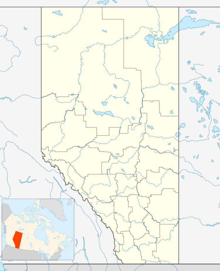
Map of Czar, AB, Canada
Czar originally was built up chiefly by Russians.
Demographics
In the 2016 Census of Population conducted by Statistics Canada, the Village of Czar recorded a population of 202 living in 85 of its 87 total private dwellings, a 7001210000000000000♠21% change from its 2011 population of 167. With a land area of 1.12 km2 (0.43 sq mi), it had a population density of 180.4/km2 (467.1/sq mi) in 2016.
In the 2011 Census, the Village of Czar had a population of 167 living in 76 of its 92 total dwellings, a -4.6% change from its 2006 population of 175. With a land area of 1.18 km2 (0.46 sq mi), it had a population density of 141.5/km2 (366.5/sq mi) in 2011.
In 2006, Czar had a population of 175 living in 88 dwellings, a 14.6% decrease from 2001. The Village has a land area of 1.18 km2 (0.46 sq mi) and a population density of 148.3/km2 (384/sq mi).