
Country Population 49,087 (2013) Unemployment rate 3.1% (Feb 2015) Area 6.590 sq mi | State California | |
Cypress is a suburban city located in the northern region of Orange County within Southern California. Its population was 47,802 at the 2010 census.
Contents
- Map of Cypress California
- Eddie cochran historic sites 2 forest lawn cemetery cypress california usa
- History
- Geography
- Economy
- References
Map of Cypress, California
Eddie cochran historic sites 2 forest lawn cemetery cypress california usa
History
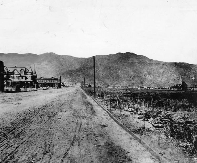
The first people living in the area now known as Cypress were the Gabrieleno, a Native American tribe of the Tongva people, who were displaced soon after the arrival of the Europeans. The government of Spain then possessed the land until Mexico gained its independence in 1821. Mexico then lost Alta California to the United States during the period following the Bear Flag Revolt and the Mexican-American War.
The original Spanish dons held immense tracts of land throughout California, which were given in lieu of pay to Spanish soldiers. Manuel Nieto was one of the early Spanish dons or landowners in the area. After his death in 1804, his sons retained title to Rancho Los Nietos, but these lands were eventually broken up and distributed among them in 1833 by a grant from the Mexican governor, Jose Figueroa. Manuels son, Juan Jose Nieto, retained the title to a large portion of his fathers original properties in southern California that included the present-day area of Cypress. That land and other Rancho properties were finally sold to the American Abel Stearns, then acquired by the Robinson Trust, a group of investors, which eventually parlayed their holdings into a vast land speculation business.
Cypress originally was nicknamed "Waterville" due to the preponderance of artesian wells in the area, but was incorporated under the name Dairy City in 1956 by local dairy farmers as a means of staving off developers and to preserve their dairies, much like the then-neighboring cities of Dairy Valley in Cerritos and Dairyland in La Palma. After World War II, however, the land became too valuable for farming or ranching, and the dairies gradually sold out to housing developers during the 1960s, so that by the 1970s no dairies remained. Many of the dairymen moved their operations to Chino, where development is once again pushing them out of the area.
In 1957 local residents voted to change the name of "Dairy City" to "Cypress". The name was taken from Cypress Elementary School (originally built in 1895) which took its name from the Cypress trees planted to protect the schoolhouse from the seasonal Santa Ana winds. Cypress Elementary School also provided the name for new Pacific Electric Railway station on Walker Street at Lincoln Avenue when the Santa Ana Line was completed in 1906, as "Waterville" already had been used elsewhere in the system.
In 1981 the City of Cypress inaugurated an annual birthday celebration for the City. The event, the Cypress Community Festival, currently may be the largest single-day event of its kind in Orange County, California. The Cypress Community Festival is held annually on the 4th Saturday in July at Oak Knoll Park, located adjacent to the Cypress Community Center at 5700 Orange Avenue, between Valley View Street and Walker Avenue.
Geography
Cypress is bounded to the north by the city of La Palma, then clockwise by Buena Park, Anaheim, Stanton, Garden Grove, Los Alamitos, Long Beach, Hawaiian Gardens, and Lakewood.
According to the United States Census Bureau, the city has a total area of 17.1 square kilometers (6.6 sq mi). 17.0 square kilometers (6.6 sq mi) of it is land and 0.14% is water. Its Geographical coordinates are 33°49?6?N 118°2?21?W.
Cypress is adjacent to the Imperial Estates neighborhood of Long Beach and the Coyote Creek to the west and is approximately 13 miles (21 km) north of Bolsa Chica. The closest beach to Cypress is Seal Beach, which is roughly 7.8 miles (12.6 km) away from the center of Cypress. Cypress is less than a 20 minute drive from Long Beach Airport.
Economy
Real Mex Restaurants, Vans and Mitsubishi Motors North America are headquartered in Cypress. The Los Alamitos Race Course is located in Cypress, even though it bears the name of its neighboring city of Los Alamitos.