
OS grid reference SH750472 Sovereign state United Kingdom Postcode district LL24 Local time Tuesday 1:16 AM Dialling code 01690 Welsh assembly Aberconwy | Country Wales Post town BETWS-Y-COED | |
 | ||
Weather 3°C, Wind W at 10 km/h, 93% Humidity | ||
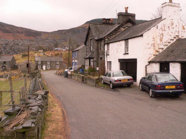
Cwm Penmachno is a former quarry settlement at the head of the Penmachno valley in North Wales. The Rhiwbach slate quarry was formerly linked by the Rhiwbach Tramway to the Ffestiniog railway at Blaenau Ffestiniog. The slopes around the village provide streams which are the source of the river Machno, which flows past the larger village of Penmachno before joining the river Conwy south of Betws-y-Coed.
Map of Cwm Penmachno, Betws-y-Coed, UK
The village attracts tourist, particularly mountain bikers, kayakers, canoeists and walkers. The Penmachno Mountain Bike Trail is located between Cwm Penmachno and Penmachno.
There is a Community Centre and drop-in Heritage Room in the village at the former Shiloh Chapel.
Situated near the end of the valley is The Latymer School's outdoor centre, Ysgol Latymer Outdoor Pursuits Centre, it is the former primary school. It accommodates six year 7 and six year 9 week-long, residential trips every year as well as various geography and PE trips organised by the school. The Latymer School have bought this centre in Snowdonia National Park so its pupils can get to know each other better and to discover their individual skills.