
Length 618 km | Country Guyana | |
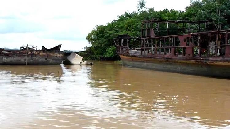 | ||
The Cuyuni River is a South American river and a tributary of the Essequibo River. It rises in the Guiana Highlands of Venezuela where it descends northward to El Dorado, and turns eastward to meander through the tropical rain forests of Guyana. It finally turns southeastward, flowing to its confluence with the Mazaruni River. The Cuyuni River marks the limit of the disputed territory of Guayana Esequiba for approximately 100 kilometres (62 mi).
Map of Cuyuni River, Guyana
Some of the Kali'na people live in the Cuyuni River valley, part of which is in Guyana.
The Kamaria hydroelectric power site is located on the Cuyuni River.
The river is a source of alluvial gold.
Ankoko Island is at the confluence of the Cuyuni and Wenamu River and has been the subject of further disputes between Venezuela and Guyana.
In 1681, an island in the mouth of the Cuyuni River was cleared and planted with cassava for the use of the Dutch garrison. By 1694, a new plantation on the Cuyuni River above the fort was established. By 1703 a post was established on the Pariacot Savannah, in the upper Cuyuni.