
State Amapá Area 2,179 km² | Elevation 6 m Local time Monday 9:00 PM | |
 | ||
Weather 25°C, Wind N at 6 km/h, 98% Humidity | ||
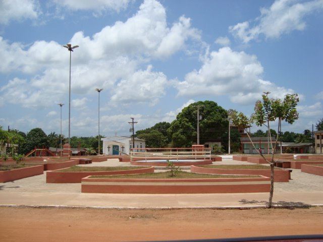
Cutias (Portuguese: Município de Cutias do Araguari), formally known as Cutias do Araguari, is a municipality located in the southeast of the state of Amapá in Brazil. Its population is 4,634 and its area is 2,115 square kilometres (817 sq mi). The name of the municipality comes from a rodent of the same name, known in English as the common agouti. Cutias do Araguari was elevated to the level of municipality on May 1, 1992.
Map of Cutias - State of Amap%C3%A1, Brazil
Cutias is bordered by Pracuúba and Amapá to the north, Macapá to the south, Macapá to the east, and Ferreira Gomes to the west. It is 120 metres (390 ft) from the state capitol of Macapá. Cutias is dominated by the Araguari River and its tributaries, which partially submerges the area for nearly half the year. It is very flat, with the highest point reaching only 3 metres (9.8 ft) above sea level. Cutias has a wet, tropical climate; it averages 2,800 mm of rain per year, and has an average humidity of 80%.
Cutias do Araguari is the largest exporter of pirarucú (arapaima) in Brazil, an endangered fish noted for its boneless steaks. The common agouti, from which the municipality takes its name, is also used in local cuisine.