
 | ||
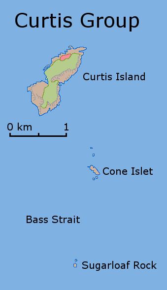
Curtis Island is a granite island, with an area of 150 ha, in south-eastern Australia. It is part of Tasmania’s Curtis Group, lying in northern Bass Strait between the Furneaux Group and Wilsons Promontory in Victoria. It is a nature reserve and has been identified as an Important Bird Area because it supports up to 390,000 breeding pairs of short-tailed shearwaters or Tasmanian muttonbirds.
Contents
Map of Curtis Island, Tasmania, Australia
It was named by lieutenant James Grant, sailing on the Lady Nelson, after Sir Roger Curtis, British governor of the Cape of Good Hope, in December 1800.
FaunaEdit
As well as the shearwaters, recorded breeding seabird and wader species include little penguin, fairy prion, Pacific gull and sooty oystercatcher. Reptiles present include white-lipped snake, Bougainville's skink, White's skink and metallic skink.