
Built 1870 Address Denver, CO 80205, USA Area 35 ha | NRHP Reference # 75000507 Opened 1870 Added to NRHP 1 April 1975 | |
 | ||
Location Roughly bounded by Arapahoe, 30th, California, and 24th Sts., Denver, Colorado Architectural style Mixed (more Than 2 Styles From Different Periods) | ||
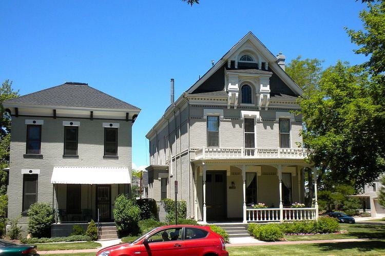
Curtis Champa Streets Historic District is located in Denver, Colorado. It was added to the National Register of Historic Places in 1975 and is bounded by Arapahoe, 30th, California, and 24th Sts. covering 870 acres and 356 buildings. In 1983 the boundaries were expanded to roughly 30th, Stout, Downing and Arapahoe Sts., covering 870 acres and 77 buildings.
References
Curtis-Champa Streets Historic District Wikipedia(Text) CC BY-SA