
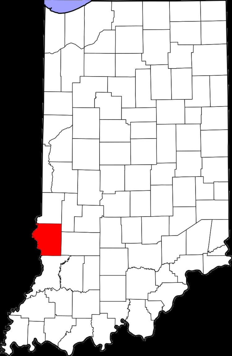
Country United States County Sullivan Time zone Eastern (EST) (UTC-5) Elevation 162 m | State Indiana ZIP code 47879 Local time Monday 3:10 PM | |
 | ||
Weather 14°C, Wind S at 26 km/h, 90% Humidity | ||
Curryville is an unincorporated community in Curry Township, Sullivan County, in the U.S. state of Indiana.
Contents
Map of Curryville, Curry Township, IN 47879, USA
The community is part of the Terre Haute Metropolitan Statistical Area.
History
A post office was established at Curryville in 1840, and remained in operation until it was discontinued in 1861.
Geography
Curryville is located at 39°11′13″N 87°23′33″W.
References
Curryville, Sullivan County, Indiana Wikipedia(Text) CC BY-SA