
Time zone Eastern (EST) (UTC-5) Elevation 259 m Local time Monday 3:09 PM | GNIS feature ID 433257 Zip code 46792 | |
 | ||
Weather 12°C, Wind S at 24 km/h, 89% Humidity | ||
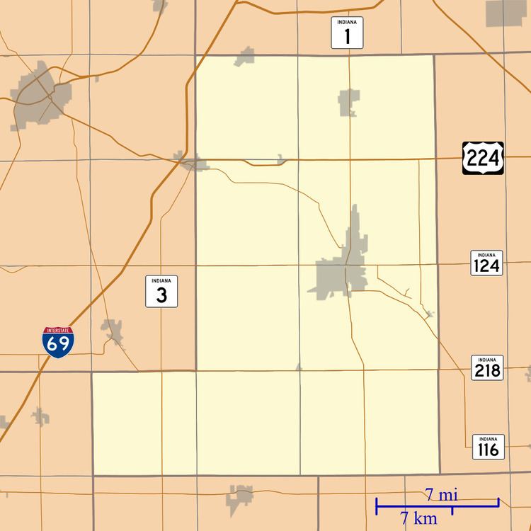
Curryville is an unincorporated community in Adams and Wells Counties, in the U.S. state of Indiana.
Contents
Map of Curryville, IN 46731, USA
The community is located at the intersection of 700 W. (800 W. in Wells County) and 300 N. in both counties.
History
Curryville was platted in 1859.
A post office was established at Curryville in 1879, and remained in operation until it was discontinued in 1907.
Geography
Curryville is located at 40°47′11″N 85°04′19″W.
References
Curryville, Indiana Wikipedia(Text) CC BY-SA