
Population 248 (2006 census) Postal code 2650 | Postcode(s) 2650 Elevation 180 m Local time Tuesday 6:11 AM | |
 | ||
Weather 17°C, Wind E at 10 km/h, 65% Humidity | ||
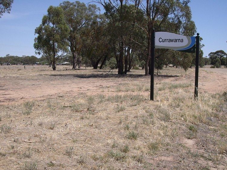
Currawarna is a rural community in the central east part of the Riverina. It is situated by road, about 6 kilometres north west from Millwood and 32 kilometres south from Coolamon. At the 2006 census, Currawarna had a population of 248 people.
Map of Currawarna NSW 2650, Australia
The place name Currawarna is derived from the Wiradjuri aboriginal language meaning "pine tree".
Currawarna Post Office opened on 1 August 1899 and closed in 1979.
References
Currawarna Wikipedia(Text) CC BY-SA