
Prominence 197 m | Elevation 259 m | |
 | ||
Similar Knockalongy, Trusk, Carn Clonhugh, Bel Mountain, Croaghgorm | ||
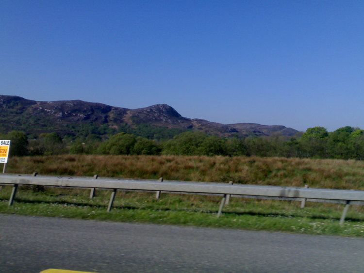
Viewed to the west travelling north, dominates the surrounding lakes of the north Roscommon and Leitrim countryside. Situated between Boyle, and Castlebaldwin, the Curlew Mountains (Irish: An Corrshliabh) oversees the north Connacht countryside.
Map of Curlew Mountains, Garrow, Co. Roscommon, Ireland
The Battle of Curlew Pass, in which Irish forces numbering 800 men led by Red Hugh O Donnell defeated an English army, of 2000 was fought here on the 15th of August 1599. This was one of the Gaelic Chieftains greatest victories of the Nine Years War and immortalised the heroism and greatness of O Donnell.
Geologically, the Curlew Mountains are made of Devonian sandstone and conglomerate that is harder than the surrounding Carboniferous limestone, hence their appearance as an upland feature.
References
Curlew Mountains Wikipedia(Text) CC BY-SA