
Time zone UTC-3 (UTC-3) Area 6,442 km² Local time Monday 2:50 PM | Founded July 6, 1832 HDI (2010) 0.581 – medium Population 32,165 (2010) | |
 | ||
Weather 36°C, Wind SE at 8 km/h, 28% Humidity | ||
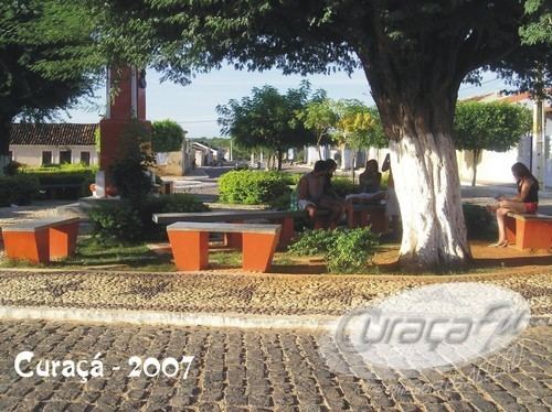
Curaçá is the northernmost city in the Brazilian state of Bahia.
Map of Cura%C3%A7%C3%A1 - State of Bahia, Brazil
The municipality was designated a priority area for conservation and sustainable use when the Caatinga Ecological Corridor was created in 2006.
References
Curaçá Wikipedia(Text) CC BY-SA