
Quadrant NW Sector North Elevation 685 m | Ward 2 Area 151 ha Population 6,419 (2012) | |
 | ||
Restaurants PitaBake Inc, IHOP, Papa Murphy's Take 'N' B, Opa!, Subway | ||
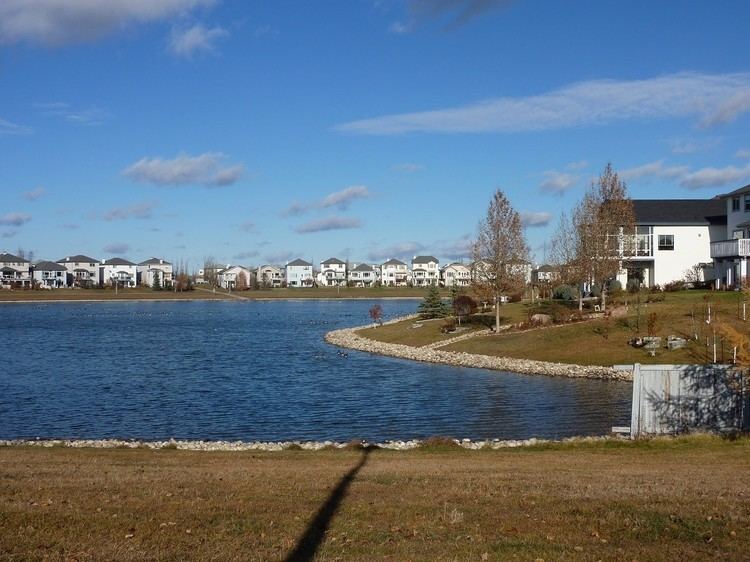
Cumberland is a residential neighbourhood in the Palisades area of north west Edmonton, Alberta, Canada.
Contents
Map of Cumberland, Edmonton, AB, Canada
Demographics
In the City of Edmonton's 2012 municipal census, Cumberland had a population of 7003641900000000000♠6,419 living in 7003216600000000000♠2,166 dwellings, a 5% change from its 2009 population of 7003611200000000000♠6,112. With a land area of 1.51 km2 (0.58 sq mi), it had a population density of 7003425100000000000♠4,251 people/km2 in 2012.
According to the 2001 federal census, substantially all residential construction (98.6%) in Cumberland occurred during the 1990s. Single-family dwellings account for approximately nine out of ten (91%) of the residences in the neighbourhood according to the 2005 municipal census. The remaining one out of ten (9%) are row houses. Nine out of ten residences (89%) are owner occupide with the remainder being rented.
The average household income in Cumberland is higher than the average household income in the City of Edmonton as a whole.
The neighbourhood is bounded on the east by 127 Street, on the west by 142 Street, on the north by 153 Street, and on the south by Cumberland Road (between 127 Street and 136 Street) and a line half a block north of 145 Avenue (between 136 Street and 142 Street).