
Postcode(s) 2581 Local time Monday 10:18 PM Lga Upper Lachlan Shire | State electorate(s) Goulburn Postal code 2581 Federal division Division of Hume | |
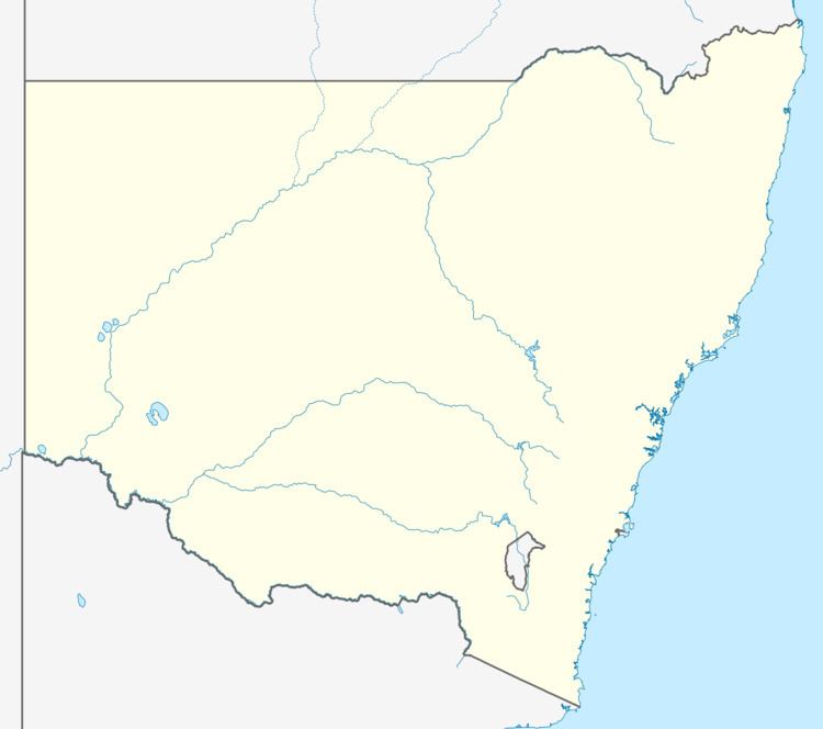 | ||
Location 237 km (147 mi) SW of Sydney
36 km (22 mi) W of Goulburn
16 km (10 mi) E of Gunning Weather 14°C, Wind E at 16 km/h, 81% Humidity | ||
Cullerin is a small township in the Southern Tablelands of New South Wales, Australia in Upper Lachlan Shire. It is located on the Old Hume Highway and Main South railway line in southern New South Wales, Australia. The railway station opened in 1880 and closed in 1973.
Contents
Map of Cullerin NSW 2581, Australia
Transport
Cullerin is at the summit of a 15 km stretch of ruling grade of the Main Southern Rail line. It lies a few kilometres west of the Great Dividing Range. The Lachlan River and other rivers to the west flow inland, while the Wollondilly River and other rivers to the east flow to the Pacific.
References
Cullerin, New South Wales Wikipedia(Text) CC BY-SA