
Country Philippines Barangays ZIP code 5708 Province Antique | District Lone district Time zone PST (UTC+8) Area 228.6 km² | |
 | ||
Region Western Visayas (Region VI) Neighborhoods Mabilo, Caritan, Lamputong, Magsaysay, Tanque | ||
Biyahe ni drew the majestic beauty of culasi antique full episode
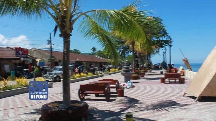
Culasi, officially the Municipality of Culasi (Karay-a: Banwa kang Culasi; Hiligaynon: Banwa sang Culasi; Filipino: Bayan ng Culasi), is a municipality in the province of Antique in the Western Visayas (Region VI) of the Philippines. The population was 41,228 at the 2015 census. In the 2016 electoral roll, it had 23,942 registered voters.
Contents
- Biyahe ni drew the majestic beauty of culasi antique full episode
- Map of Culasi Antique Philippines
- Mararison island culasi antique june 2016
- History
- Geography
- Topography
- Climate
- Barangays
- Demographics
- Economy
- Natural resources
- Communication
- Education
- References
Map of Culasi, Antique, Philippines
Culasi is 92 kilometres (57 mi) north from San Jose de Buenavista, the capital of Antique, and 90 kilometres (56 mi) south from Kalibo, the capital of Aklan.
Mararison island culasi antique june 2016
History
During the Spanish colonial times, Culasi was known by its old name "Bacong". Now, Bacong is only one of its barangays. Bacong was once of the four visitas or towns established by the Spaniards. The others were Nalupa (now Barbaza), Bugason (now Bugasong), and Hamtik (now Hamtic). The name Culasi or Kulasi was derived from the local term for a species of mangrove Lumnitzera racemosa which grow abundantly in the vicinity's river basin.
The 1905 census revealed that Culasi had the biggest Chinese population in Antique, so much so that it had a barrio named "Villa de Hong Kong" in their honor. It is now part of the Poblacion.
Geography
Culasi is located at 11°25′N 122°04′E.
According to the Philippine Statistics Authority, the municipality has a land area of 228.56 square kilometres (88.25 sq mi) constituting 7000836999999999999♠8.37% of the 2,729.17-square-kilometre- (1,053.74 sq mi) total area of Antique.
Located in the northern portion of the province, it is bounded on the north by Sebaste, south by Tibiao, west by the Sulu Sea and east by Mount Madia-as and the Municipality of Madalag, Aklan, just beyond. Its territory includes Maniguin (or Maningning / Hammerhead) and Batbatan Islands.
Excluding the outlying islands, its northernmost point is located at 11°32’05" latitude and 122°05’00" longitude. Its easternmost point is located at 11°30’50" latitude and 122°10’05" longitude. Its southernmost point is located at 11°21’04" latitude and 122°02’08" longitude and the westernmost point is at 11°31’05" latitude and 122°03’08" longitude.
Topography
Culasi has a slope of 8°. Eastern height ranges from 200 metres (660 ft) to 2,117 metres (6,946 ft) at the summit of Mt. Madja-as. It has unbroken mountain range from barangay Batonan Sur in the south to barangay Salde in the northernmost. From the peak of Madja-as Mountain it gradually flattens down to a narrow strip of the coastal plain. Land area roughly covers 82.92% upland and above lowland comprises 17.08% of the land area with a slope of 18% and below. Forest areas comprise almost half of the total land area covering 12,078 hectares (29,850 acres).
Climate
Culasi has two distinct seasons, the rainy and dry. Rainy season occurs in the months of May to November and dry season for the rest of the year. Areas like the mountainous barangays of Flores and Osorio located at the southern portion of the municipality are characterized by a relatively cool temperature which is highly suited for coffee. The higher precipitation acquired may be caused by high mountain range or because of its high topography.
Barangays
Culasi is politically subdivided into 44 barangays, which are classified into 3 island, 11 upland, 16 coastal and 14 interior/lowland barangays.
Demographics
In the 2015 census, Culasi had a population of 41,228. The population density was 180 inhabitants per square kilometre (470/sq mi).
In the 2016 electoral roll, it had 23,942 registered voters.
Economy
Farming and fishing are the major livelihood where the Culasinhon depend their living.
Natural resources
The rolling hills of Mount Madja-as are rich in manganese, copper and coal found in Timbaban. Other metallic mineral deposits are white clay and pebbles in the island barangays of Malalison and Batbatan. Sand and gravel is being extracted in various rivers and used for infrastructure. Another metallic mineral is the limestone deposit found in Sitio Bula, Camancijan and is used for agricultural and industrial purpose. Limestone is used in the production of cement.
Most treasured one is the oil deposit in Maniguin Island explored by the Philippine National Oil Corporation (PNOC). Several companies drilled oil deposit in Maniguin with black coal. Maniguin has a potential reserve of 28 million barrels to 250 mmbbls. based on the PNOC drilling project report.