
Founded 1877 Area 58.18 km² | District 3rd District Barangays Local time Monday 5:26 PM | |
 | ||
Demonym(s) CuencanoCuencanaTaga-Cuenca Weather 27°C, Wind E at 10 km/h, 53% Humidity Neighborhoods Labac, San Felipe, Don Juan | ||
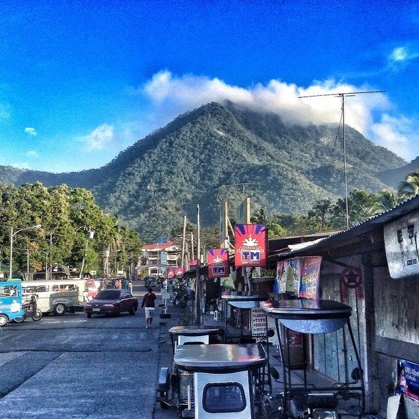
Experiencing mt maculot cuenca batangas philippines
Cuenca, officially the Municipality of Cuenca (Filipino: Bayan ng Cuenca), is a municipality in the province of Batangas in the Calabarzon (Region IV-A) of the Philippines. The population was 32,783 at the 2015 census. In the 2016 electoral roll, it had 21,655 registered voters.
Contents
- Experiencing mt maculot cuenca batangas philippines
- Map of Cuenca Batangas Philippines
- Unexplained fire combustion in cuenca batangas philippines michael the healer
- Geography
- Barangays
- Demographics
- References
Map of Cuenca, Batangas, Philippines
Once a part of San Jose, it became an independent town under the name "Cuenca" in 1876. Its main tourist attraction is the 600-metre- (2,000 ft) high mountain, Mount Maculot.
The Patron of Cuenca is Saint Isidore the Laborer, the patron of farmers. A celebratory feast is held annually every May 15.
Unexplained fire combustion in cuenca batangas philippines michael the healer
Geography
Cuenca is located at 13°55′N 121°03′E.
According to the Philippine Statistics Authority, the municipality has a land area of 58.18 square kilometres (22.46 sq mi) constituting 7000186000000000000♠1.86% of the 3,119.75-square-kilometre- (1,204.54 sq mi) total area of Batangas.
Barangays
Cuenca is politically subdivided into 21 barangays. In 1954, Don Juan was constituted as a barrio from the sitios of Lungos ng Parang, Kulit, Lumampao, Pisa, Napapanayan and Lagundian.
Demographics
In the 2015 census, Cuenca had a population of 32,783. The population density was 560 inhabitants per square kilometre (1,500/sq mi).
In the 2016 electoral roll, it had 21,655 registered voters.