
Area 43.8 km² | Surface area 43.8 km (16.9 sq mi) | |
 | ||
Primary outflows Cucao River, also called Desaguadero River Similar Chiloé Island, Lemuy Island, Islotes de Puñihuil Natural M, Punta Pirulil, Churches of Chiloé | ||
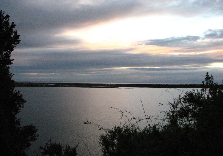
Cucao and Huillinco are two lakes in central Chiloé Island, Chile, linked by a strait forming one hydrologic lake. The two lakes are orinted in west-east fashion cutting of the Chilean Coast Range in Chiloé Island into two ranges; Piuchén to north and Pirulil to the south. The outlet of the lakes, Desaguadero or Cucao River lies at Cucao Lakes western end, and flows into the Pacific.
Map of Lago Cucao, Chonchi, Los Lagos Region, Chile
References
Cucao and Huillinco Wikipedia(Text) CC BY-SA