
Country Colombia Founded 19 January 1550 Website Official website Area 43 km² Local time Monday 8:03 PM Founder Juan de Sanct Martín | Department Boyacá Department Founded by Juan de San Martín Elevation 2,750 m Population 1,906 (2015) Province Sugamuxi Province | |
 | ||
Time zone Colombia Standard Time (UTC-5) Weather 14°C, Wind N at 5 km/h, 78% Humidity | ||
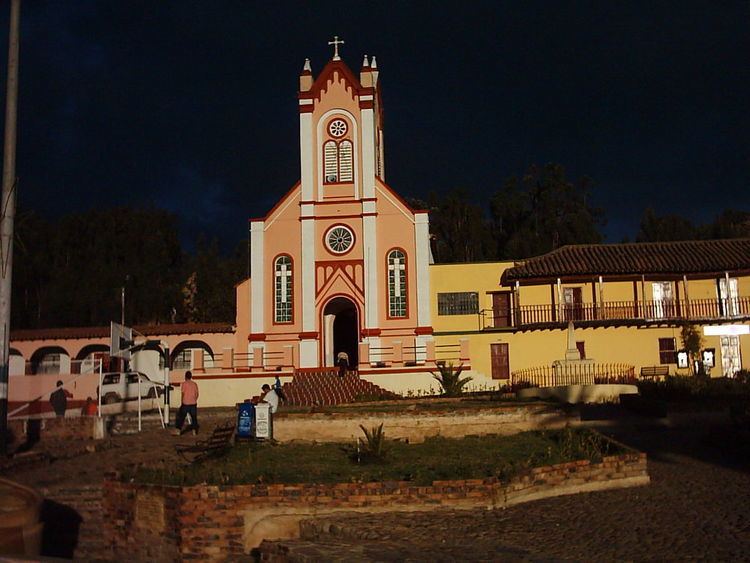
Cuítiva is a town and municipality in the Sugamuxi Province, part of the Colombian department of Boyacá. The urban centre is situated on the Altiplano Cundiboyacense at an altitude of 2,750 metres (9,020 ft) and a distance of 85 kilometres (53 mi) from the department capital Tunja. The altitudes of the municipality range from 2,727 metres (8,947 ft) to 3,200 metres (10,500 ft) and it borders Iza in the north, Sogamoso in the east, Aquitania in the west and Tota in the south.
Contents
Map of Cuitiva, Boyac%C3%A1, Colombia
Etymology
The name Cuítiva is derived from Chibcha and means "Similarity to the chief".
History
The area of Cuítiva before the Spanish conquest was inhabited by the Muisca, organized in their loose Muisca Confederation. Nearby iraca of Sugamuxi ruled over Cuítiva.
Modern Cuítiva was founded by Juan de San Martín on January 19, 1550.
On the central square a monument honouring messenger god in the religion of the Muisca; Bochica has been erected.
Economy
Main economical activities of Cuítiva are agriculture; potatoes, peas, wheat, maize and Welsh onions and livestock farming.