
Demonym cruzeirense Area 7,925 km² Population 79,819 (2012) Number of airports 1 | Founded September 12, 1904 Elevation 182 m Local time Sunday 7:14 PM | |
 | ||
Weather 25°C, Wind N at 0 km/h, 89% Humidity | ||
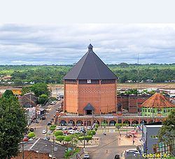
Cruzeiro do Sul is a municipality located on the Juruá river in the west of the Brazilian state of Acre. Its population is 73,948 and its area is 7,925 km².
Contents
Map of Cruzeiro do Sul - State of Acre, Brazil
It is bordered to the north by the state of Amazonas, to the south by Peru, to the east by the municipality of Porto Walter, to the west by the municipality of Rodrigues Alves, to the northwest by the municipality of Tarauacá, and to the northwest by the municipality of Mâncio Lima.
The municipality contains 23% of the 846,633 hectares (2,092,080 acres) Serra do Divisor National Park, created in 1989.
Economy
The principal economic activity of the municipality is rubber extraction. Of lesser importance is the farming of cassava, coffee and rice.
Transport
The town is served by Cruzeiro do Sul International Airport.