
 | ||
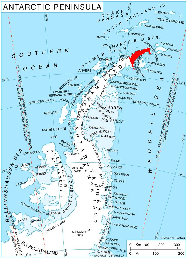
Crown Peak (63°34′S 58°33′W) is an ice-covered peak, 1,185 metres (3,890 ft) high, topped by a conspicuous crown-shaped ice formation. It forms the highest summit and the south end of the Marescot Ridge and lies 10 nautical miles (19 km) east of Cape Roquemaurel on the northwest side of the Trinity Peninsula. It was named by the Falkland Islands Dependencies Survey following their survey of the area in 1946.
Map
References
Crown Peak Wikipedia(Text) CC BY-SA