
Country United States Time zone Pacific (UTC-8) Local time Sunday 1:31 PM | Elevation 4,078 ft (1,243 m) Area code(s) 541 | |
 | ||
Weather 1°C, Wind SW at 19 km/h, 52% Humidity | ||
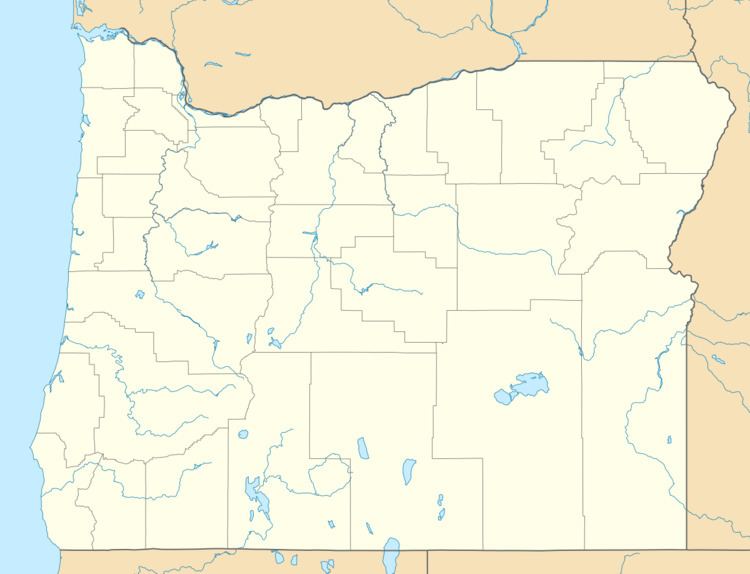
Crowley is an unincorporated community in Malheur County, Oregon, United States. It lies along Crowley Road, north of Oregon Route 78, about 50 miles (80 km) east of Crane. Crowley Ranch and Crowley Ranch Airstrip are nearby.
Map of Crowley, OR 97906, USA
Crowley Creek was named for G. B. Crowley who settled on its banks with his son James in 1874. The Crowleys' home was burned in 1878 during the Bannock War but the family escaped. Crowley post office was established in 1911 and ran until 1935. There was previously a Crowley post office in Polk County.
References
Crowley, Malheur County, Oregon Wikipedia(Text) CC BY-SA