
ZIP codes 22039, 22079 Elevation 91 m Population 5,802 (2010) | Time zone Eastern (EST) (UTC-5) FIPS code 51-20436 Area 5.75 km² | |
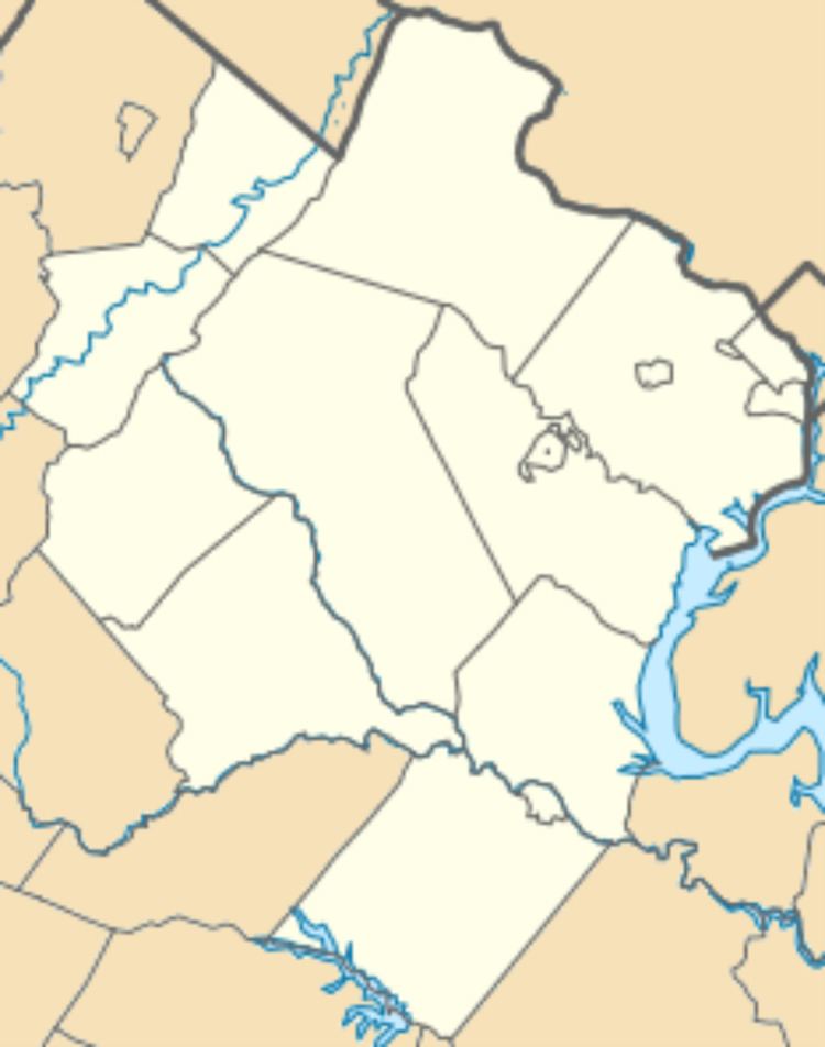 | ||
Crosspointe is a census-designated place in Fairfax County, Virginia, in the United States. The population as of the 2010 census was 5,802.
It is located in southwest Fairfax County on the northeast side of Virginia Route 123, 6 miles (10 km) north of Woodbridge and 10 miles (16 km) south of Fairfax. It is bordered to the north by the South Run CDP, to the northeast by the CDP, and to the southeast by the Laurel Hill CDP. According to the U.S. Census Bureau, Crosspointe has a total area of 2.22 square miles (5.75 km2), of which 2.20 square miles (5.70 km2) is land and 0.019 square miles (0.05 km2), or 0.84%, is water.
References
Crosspointe, Virginia Wikipedia(Text) CC BY-SA