
Country Canada Census division 6 Time zone MST (UTC-7) Elevation 1,113 m Local time Saturday 4:39 PM | Postal code span T0M-0S0 Population 2,983 (2016) | |
 | ||
Weather -10°C, Wind N at 16 km/h, 71% Humidity | ||
Bread and butter country pine furniture crossfield alberta
Crossfield is a town in southern Alberta, Canada within Rocky View County. It is located on Highway 2A 43 km (27 mi) north of the City of Calgary.
Contents
- Bread and butter country pine furniture crossfield alberta
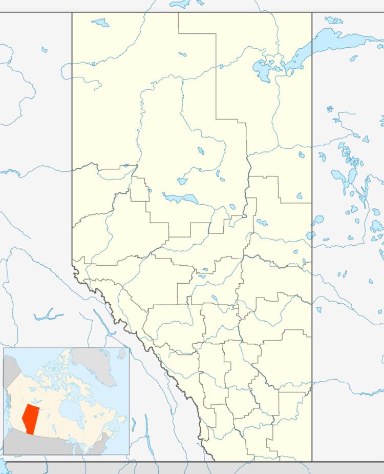
- Map of Crossfield AB Canada
- Demographics
- Economy
- Education
- References
Map of Crossfield, AB, Canada
As a rail station on the Calgary to Edmonton (C&E) line of the Canadian Pacific Railway, Crossfield was founded in 1892. Crossfield was named after an engineer with the Canadian Pacific Railway survey crew. By 1904, the community had a post office, a general store, a hotel and a school. In 1906, the first grain elevator opened and Crossfield was incorporated as a village the following year in 1907. In 1980, Crossfield incorporated as a town.
The Town of Crossfield is a member of the Calgary Regional Partnership. Crossfield is within the Calgary-Edmonton Corridor and is growing as a result. Crossfield is north of the City of Airdrie and south of the Town of Olds. Crossfield is surrounded by the rural Rocky View County.
Demographics
In the 2016 Census of Population conducted by Statistics Canada, the Town of Crossfield recorded a population of 2,983 living in 1,101 of its 1,168 total private dwellings, a 7000460000000099999♠4.6% change from its 2011 population of 2,853. With a land area of 11.96 km2 (4.62 sq mi), it had a population density of 249.4/km2 (646.0/sq mi) in 2016.
The population of the Town of Crossfield according to its 2014 municipal census is 2,918, a 7000200000000000000♠2% change from its 2010 municipal census population of 2,861.
In the 2011 Census, the Town of Crossfield had a population of 2,853 living in 1,018 of its 1,090 total dwellings, a 6.9% change from its 2006 adjusted population of 2,668. With a land area of 11.87 km2 (4.58 sq mi), it had a population density of 240.4/km2 (622.5/sq mi) in 2011.
Economy
The primary economic base of the Crossfield area is agriculture, agricultural services and natural gas processing. The Crossfield Gas Plant located south of the town, currently owned by TAQA North, has been operation since 1965.
Education
Crossfield has two schools – Crossfield Elementary School (Kindergarten to Grade 5) and W.G. Murdoch School (Grades 6-12).