
Local time Saturday 5:29 PM | ||
 | ||
Weather -13°C, Wind W at 43 km/h, 93% Humidity | ||
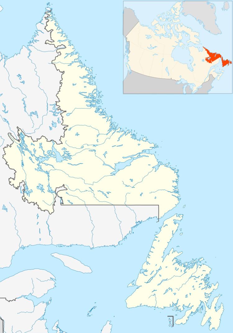
Croque is a settlement in Newfoundland and Labrador.
Map of Croque, NL, Canada
Croque is the name given by the English to Havre Du Croc. Translated, Croque means Crunch. Havre Du Croc means Harbour Of The Hook.
Croc is pronounced Crow in French. The second c is silent.
The harbour is shaped like a boat hook or gaff.The spelling "Croque" appeared on James Cook's charts.Croc was used by French fishermen as far back as 1504. Part of it was called Le Petit Maistre. It was where after 1640 all French ships and crews registered in the spring for their assigned fishing "berths." The first captain to arrive became the Admiral of the region for the season.
Sir David Kirke reported a massacre that occurred in Croc in the early 1600s. Twenty-one French fishermen were slain presumably by native "Indians." However, history has not proven that "Indians" were involved.
For over two hundred years Croc was the headquarters for the French navy in Western & Northern Newfoundland & Labrador. It was a coal storage, supply station and repair station for the sailing and hybrid ships. It contained an iron works forge, sail makers shop, carpenter shop, bakery, bunk houses and a farm. In the latter part of the 19th century the French hired Irish guardians to care for their property in winter.
1766 was a busy year in Croc. Sir James Cook was there charting the coast, Sir Joseph Banks was there collecting plant samples West Country merchant John Phipps had built a mansion there called "Crusoe Hall", and the Moravian missionaries dropped by for a visit before they moved on to Labrador.
After the Entente Cordiale in 1904 the French completely abandoned the area and Havre Du Croc developed into the Irish communities of Southwest Croque and Kearney's Cove.
Between 1956 and 1959 both communities relocated to the bottom of the bay to the area called L'Epine Cadoret - the site of a French/English cemetery dating back to the early 1700s. The present day community is called Croque.
It once was a thriving fishing and logging community. However, since the indefinite cod moratorium of 1992 it is struggling to survive. It is still a popular tourist destination because of the historic cemetery, waterfront fishing properties, names of ships carved into the rocks at various locations,its deep secluded harbour, moose hunting, salmon and trout sports fishing, and beautiful seascapes. Population now is less than 50.
Croque,NL,CA (Havre Du Croc, Terre Neuve) by Francis R. Reardon Sr.